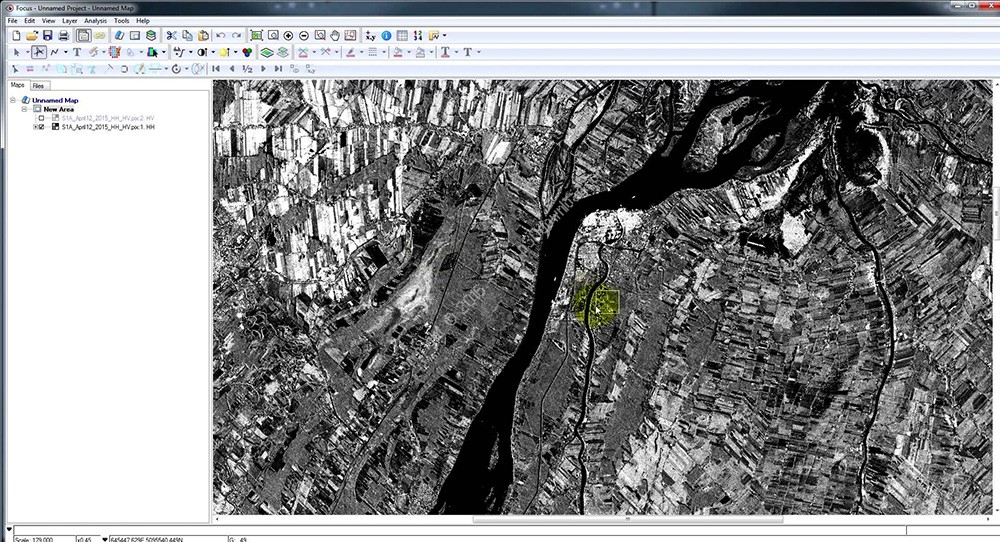
PCI Geomatica 软件是地理空间信息领域世界级的专业公司加拿大PCI公司的旗帜产品,其当前最新版本Geomatica 已经集成了遥感影像处理、专业雷达数据分 析、GIS/空间分析、制图和桌面数字摄影测量系统,成为一个强大的生产工作平台,并且重组了模块构成,使得软件模块更面向应用而且简洁。
PCI Geomatica作为图像处理软件系统的先驱,以其丰富的软件模块、支持所有的数据格式、适用于各种硬件平台、灵活的编程能力和便利的数据可操作性代表了图像处理系统的发展趋势和技术先导。
作为一个地理空间软件的专业使用者,您的工作是从影像中获得最多的数据信息,用获得的信息帮助您制定更好的决策方案。而PCI Geomatics的使命,就是为图像处理工作者提供最好的工具,帮助他们将空间数据转为信息。
PCI Geomatica 2016版本在加拿大正式发布。Geomatica软件是PCI Geomatics公司系列软件产品中涉及多学科的地理空间套件,打破了传统遥感、GIS、摄影测量学和制图学行业的常规划分,为用户提供多种处理环境并为特定的处理流程提供解决方案。
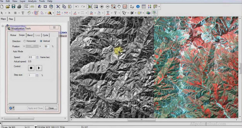
Geomatica 2016功能,如自动多路点选择和计算能力绝对,相对或组合模型,Geomatica提供一切您需要快速、准确的结果。EXIF标记和摄影航线角度使项目设置简单,和高效的编辑工具,图像失活特性和详细的报告让你花更少的时间检查你的正色摄影,这样你就可以开始你的下一个项目。
PCI Geomatics, a world leading developer of remote sensing and photogrammetric software and systems, has released a service pack for Geomatica 2016. The main focus of the service pack is expanded sensor support, with additional accuracy improvements in automated tie-point collection and model calculation. This service pack builds on the capabilities introduced in Geomatica 2016, which included more flexible ortho-mosaic workflows, automatic sigma correction, new compact PolSAR tools and DEM extraction that doubled in speed.
The expanded sensor support in SP1 means that Geomatica users can now easily use imagery from the latest commercial satellites, including Sentinel-2, KazEOSat-2 and four additional sensors. “Sentinel-2 plays an important role in earth imaging applications, particularly for agriculture and the environment. This is thanks to its innovative 13-band sensor, repeat coverage and free, online distribution” said David Piekny, Product Marketing Manager at PCI Geomatics. Expanded support for KazEOSat-1, KOMPSAT-3, and TripleSat have also been included in this release. A continually expanding roster of supported sensors is one of the foundations of PCI Geomatics software and systems, which provide expert algorithms, automated workflows and includes the Geomatica Developer Edition with Python API for custom application development.
Another important addition in the service pack is a new tie-point visualization interface, which allows users to better review the overall distribution of tie-points in their projects to determine if any edits are required. Tie points can be selected and modified based on their connectivity and location, reducing QC times for both aerial and satellite projects. A new parameter in automatic tie-point collection allows multiple passes, resulting in more points, while earth curvature and atmospheric refraction options have been added to aerial bundle calculations.
About PCI Geomatics
PCI Geomatics is a world-leading developer of software and systems for remote sensing, imagery processing, and photogrammetry. With more than 30 years of experience in the geospatial industry, PCI is recognized globally for its excellence in providing software for accurately and rapidly processing satellite and aerial imagery. There are more than 30,000 PCI licenses, in over 150 countries worldwide.
Geomatica 2016破解步骤:
运行安装, 选”1. Standalone (local license without a dongle)”
拷贝License.PCI 到<安装目录>\exe 文件夹下,覆盖
比如 C:\PCI Geomatics\Geomatica 2016\exe
PCI Geomatica 2016 SP1 with Data 注册版下载地址:
Download 百度云盘:
[erphpdown]http://pan.baidu.com/s/1jIc1tCa 密码:6er6
解压密码:www.unyoo.com[/erphpdown]